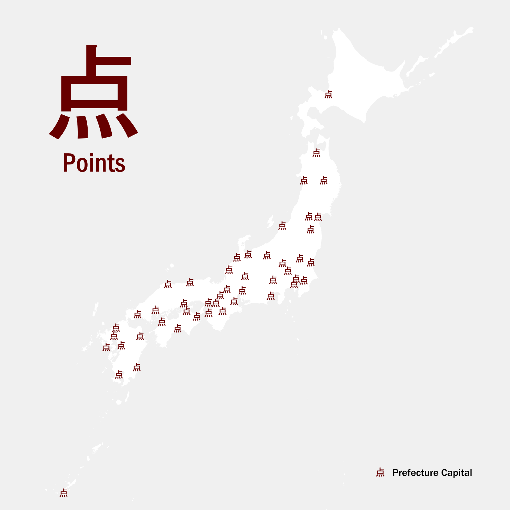
1.Points
The 47 prefectural capitals of Japan
bordoray's contributions to a daily map making challenge occured every november.

2025 concept: #30DayJLPTMapChallenge Each map features japanese words
Main tools : QGIS, clay, brush
The 47 prefectural capitals of Japan
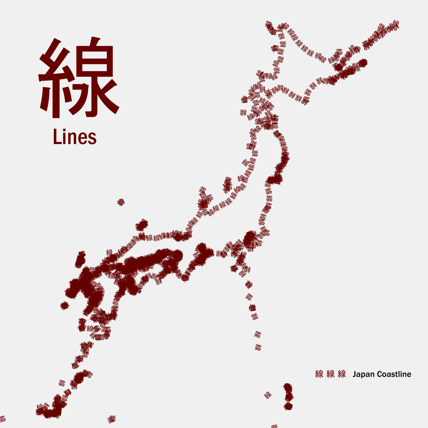
Japan's coastline but shown as Kanji
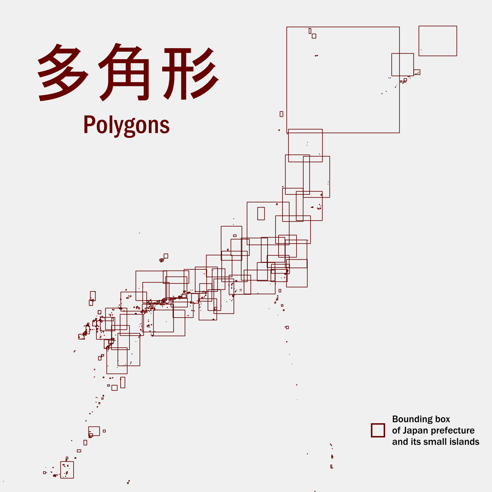
Japan prefectures bounding boxes
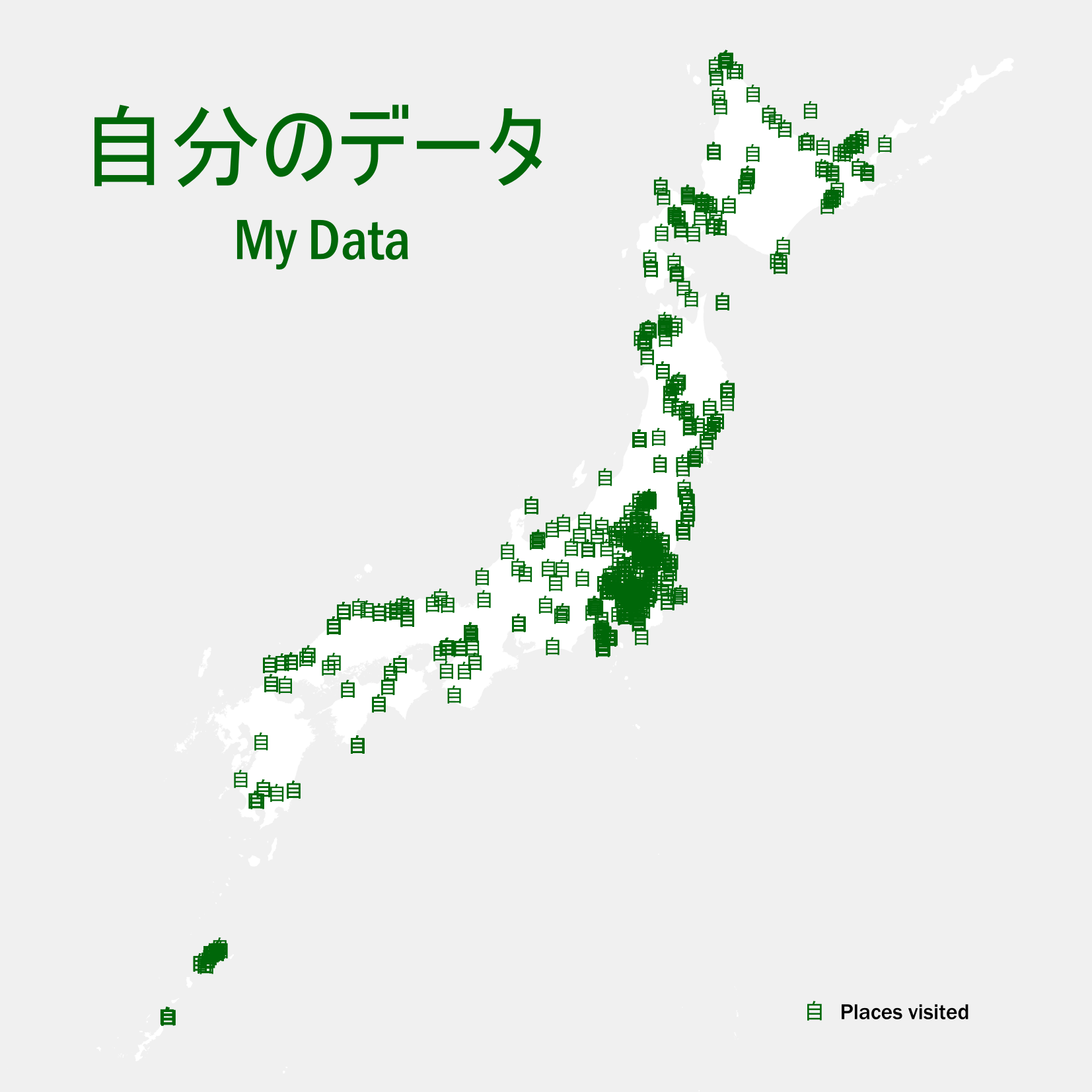
Places visited in Japan
as my SNS said
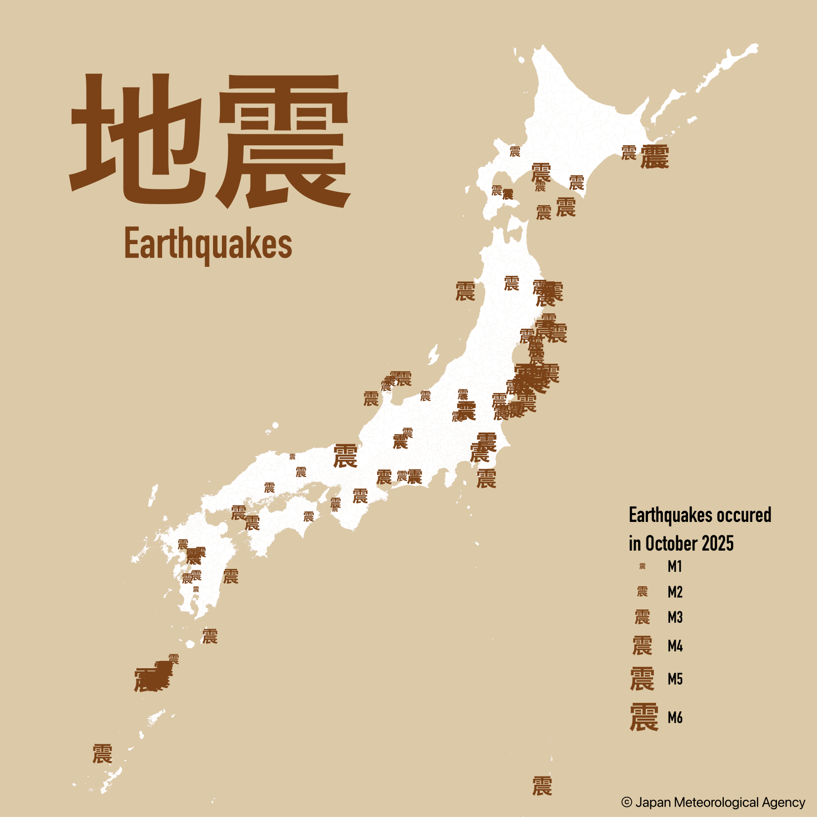
The first element Japan must face
Earthquakes accross the country in October 2025
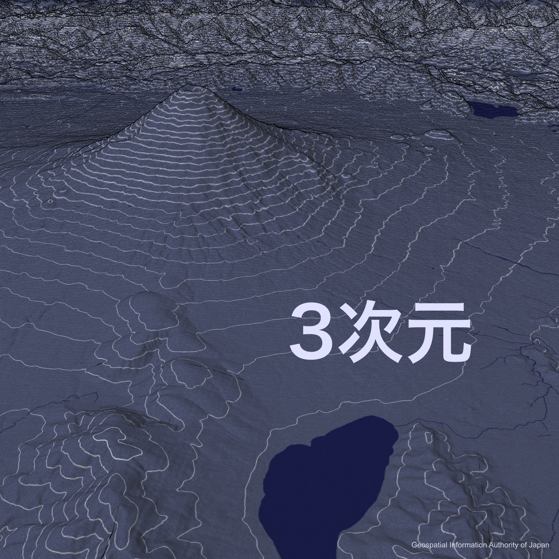
3D surroundings of
the Mount Fuji
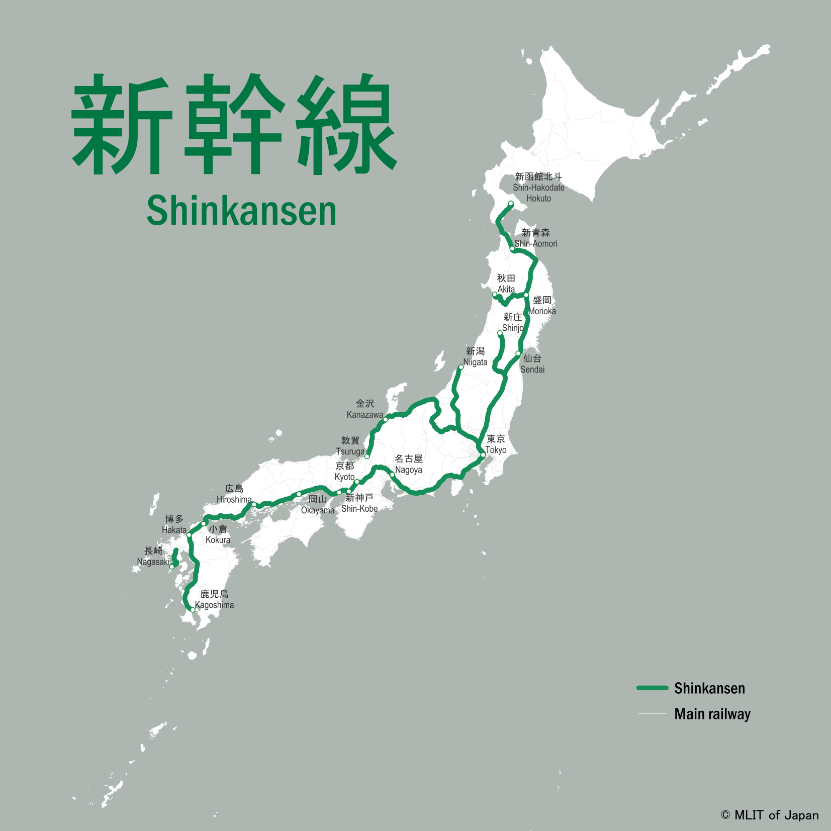
Japan shinkansen network
connecting major cities
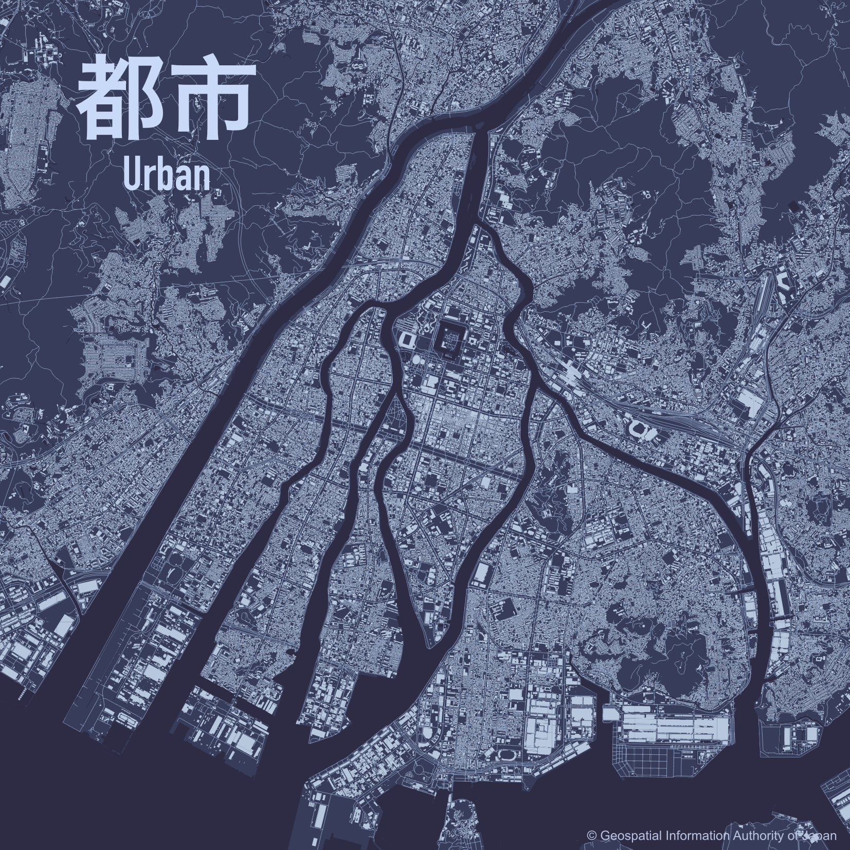
Hiroshima
Host of FOSS4G 2026
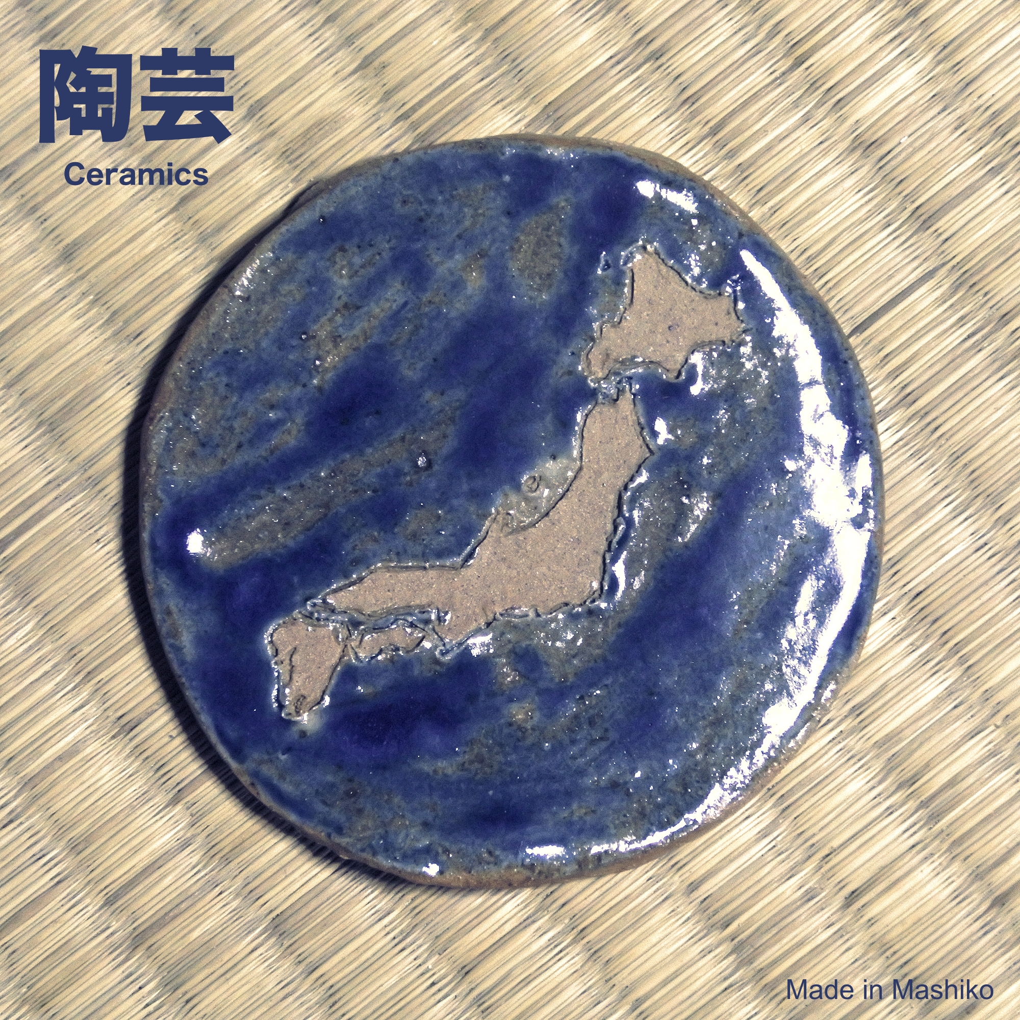
Japan shaped by earth
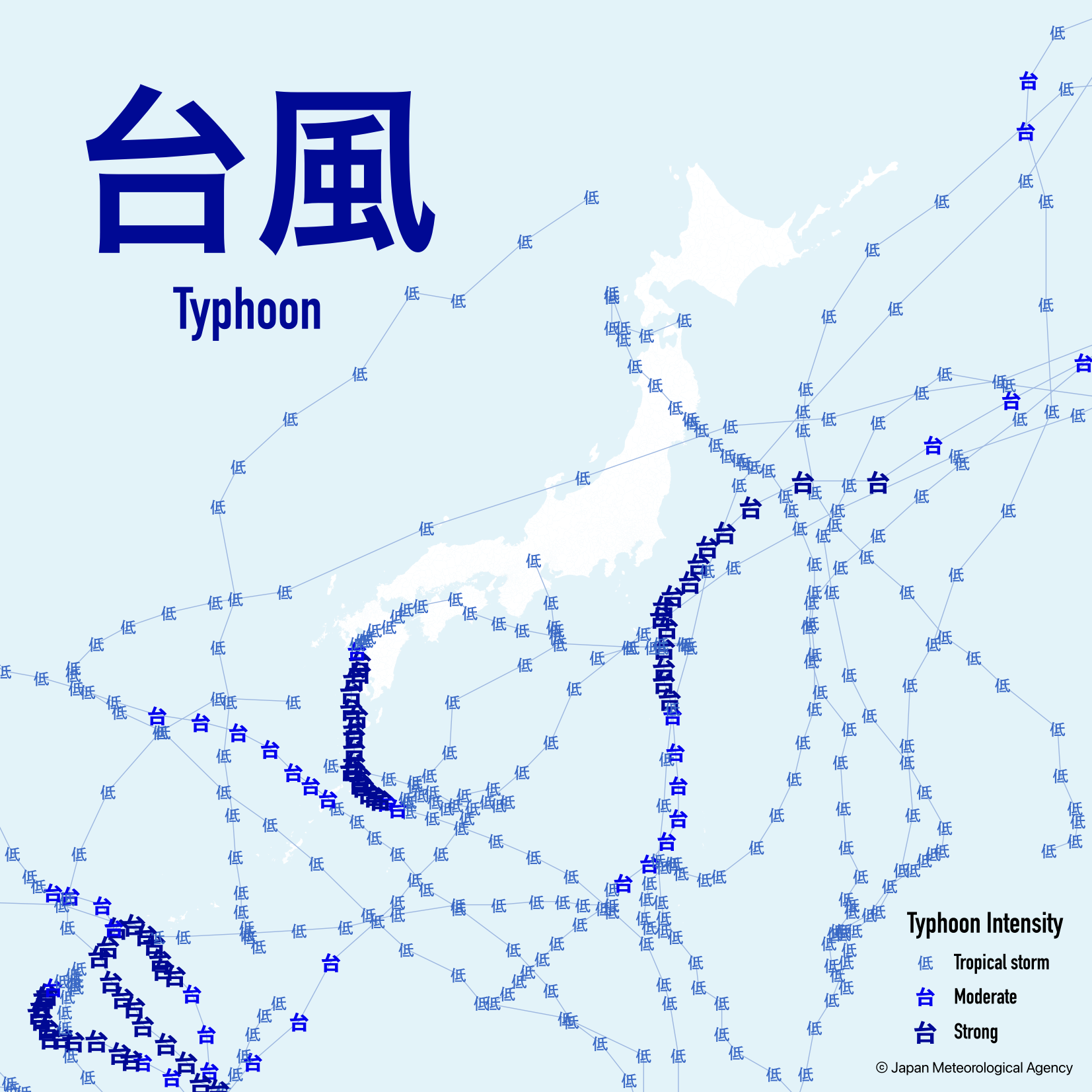
The 2nd element Japan must face
Typhoons passed across the country in 2024
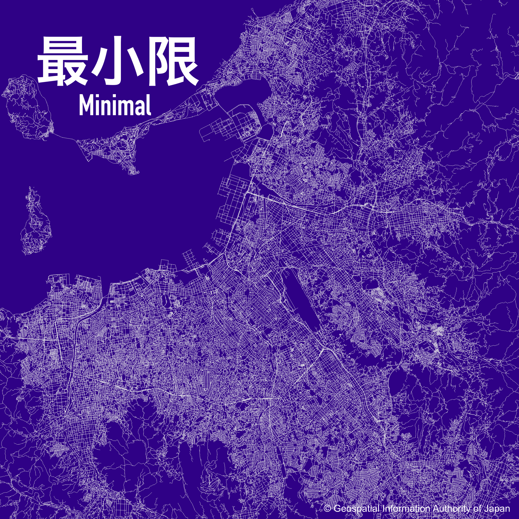
Fukuoka's road network
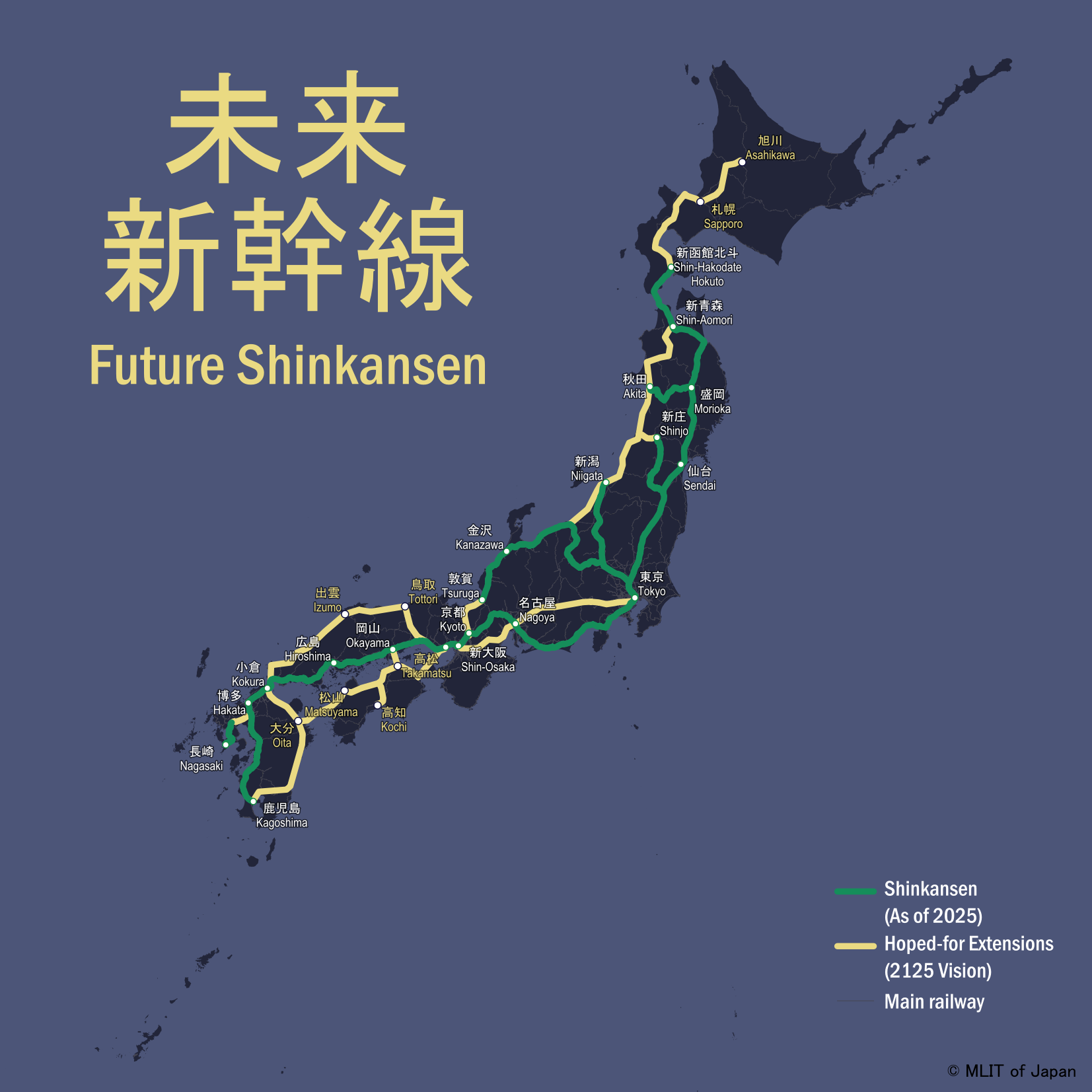
Hope-for future shinkansen network
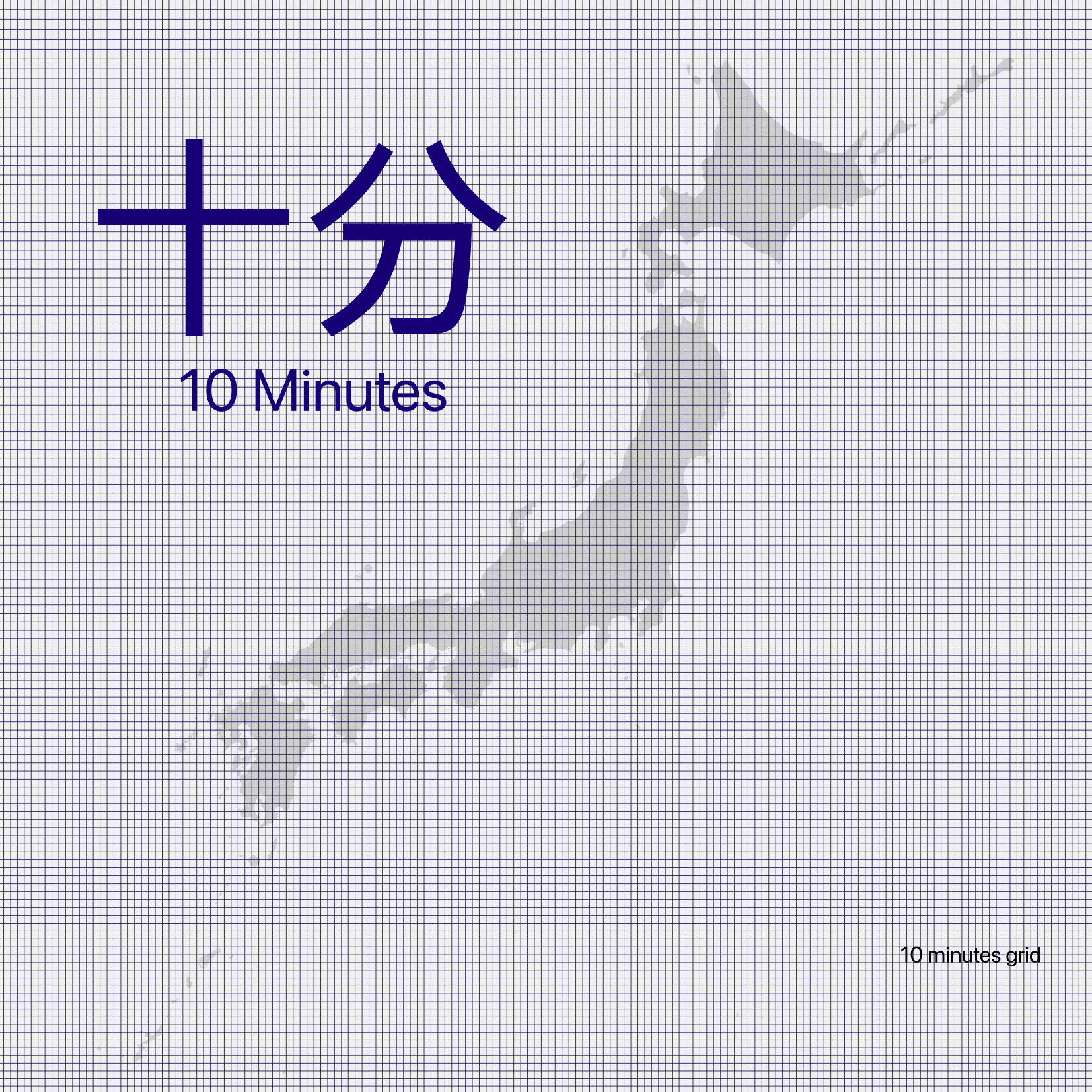
Japan in 10-minute grid
made in 10 minutes
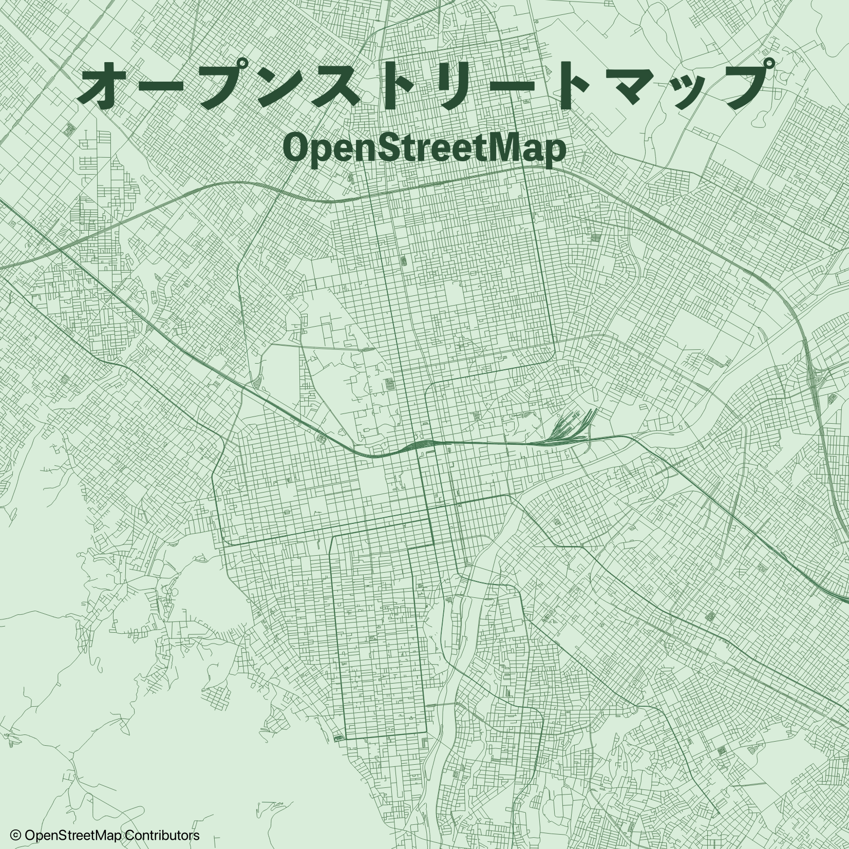
Sapporo's transportation network
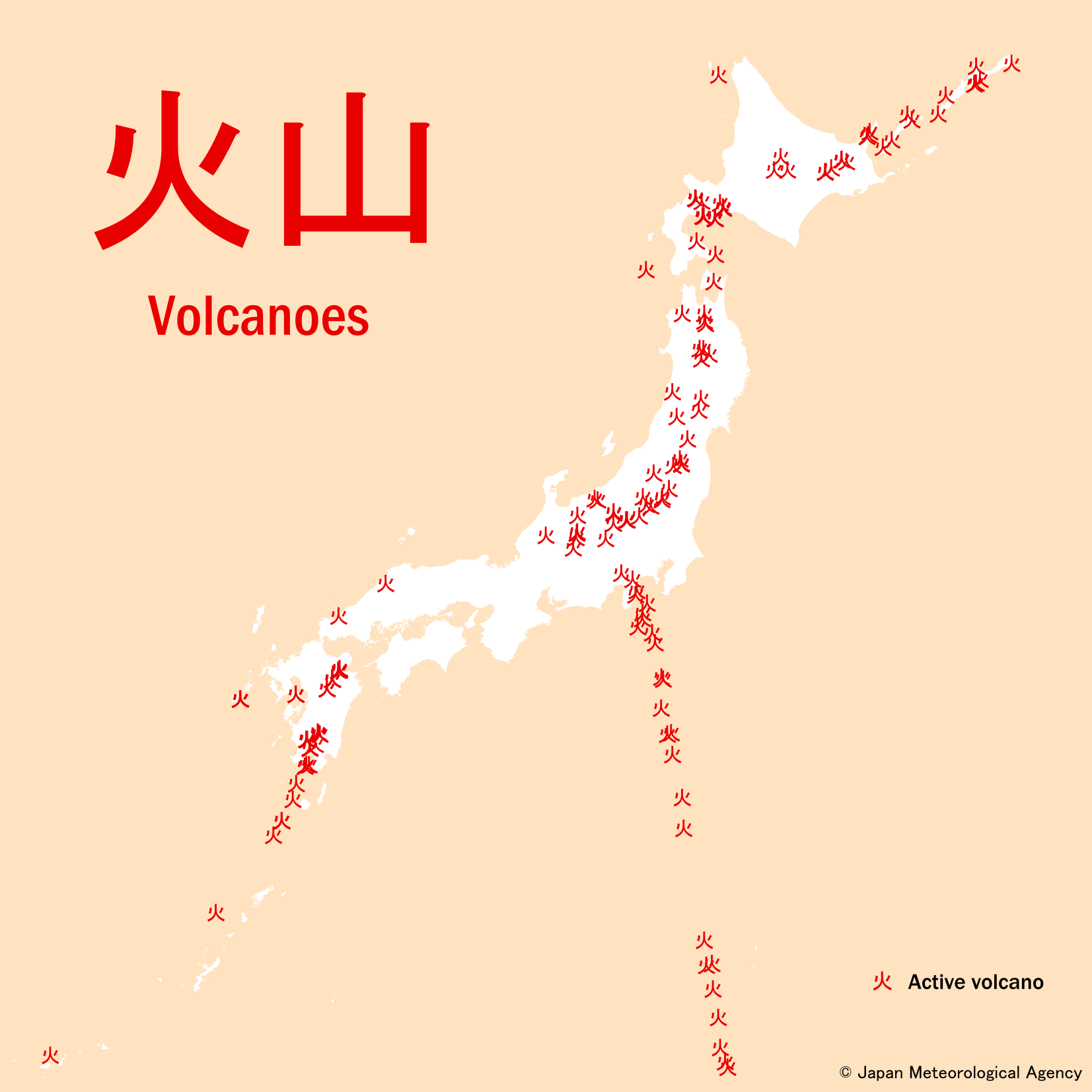
The 2nd element Japan must face
Active volcanoes across the country
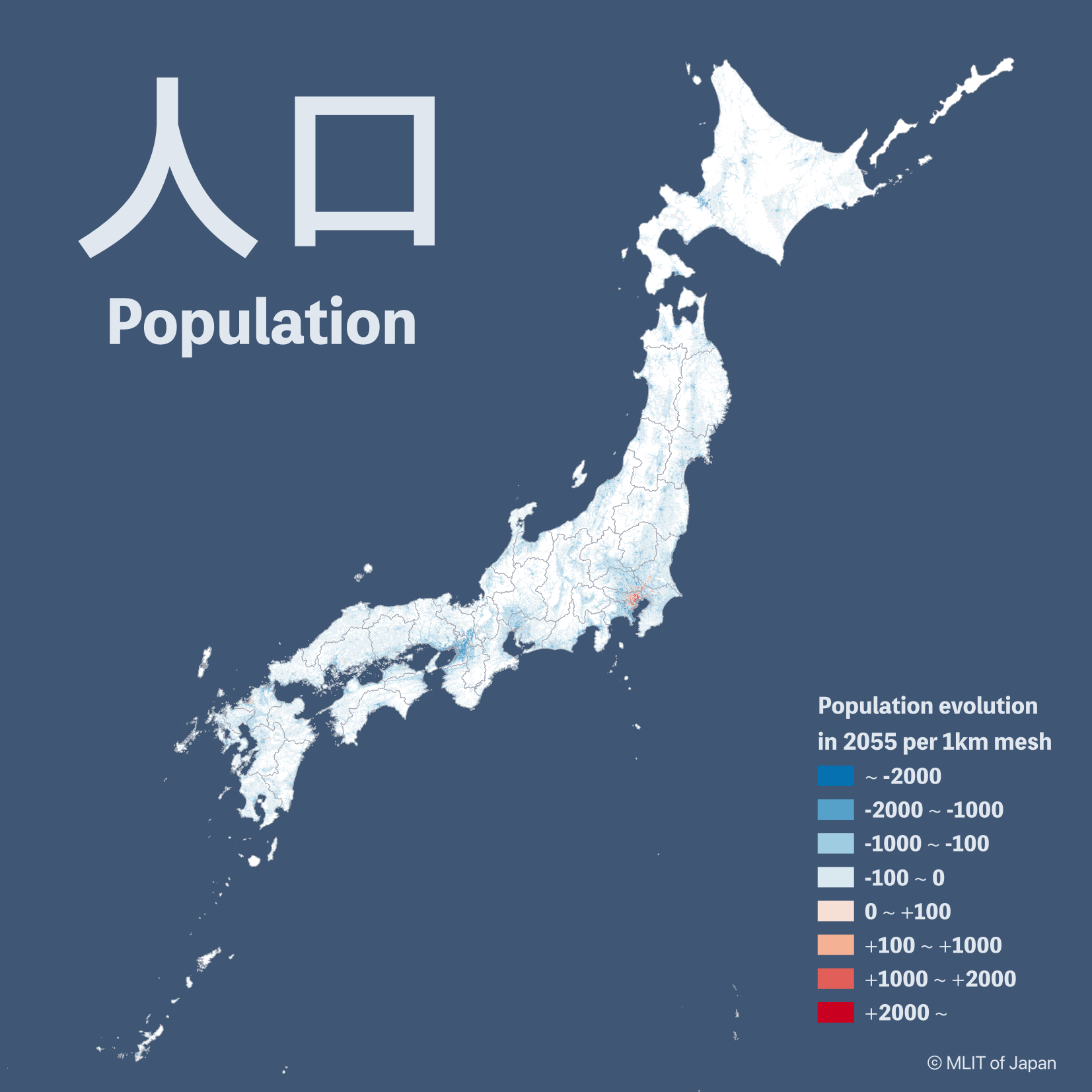
Estimation of Japan population
evolution 30 years later
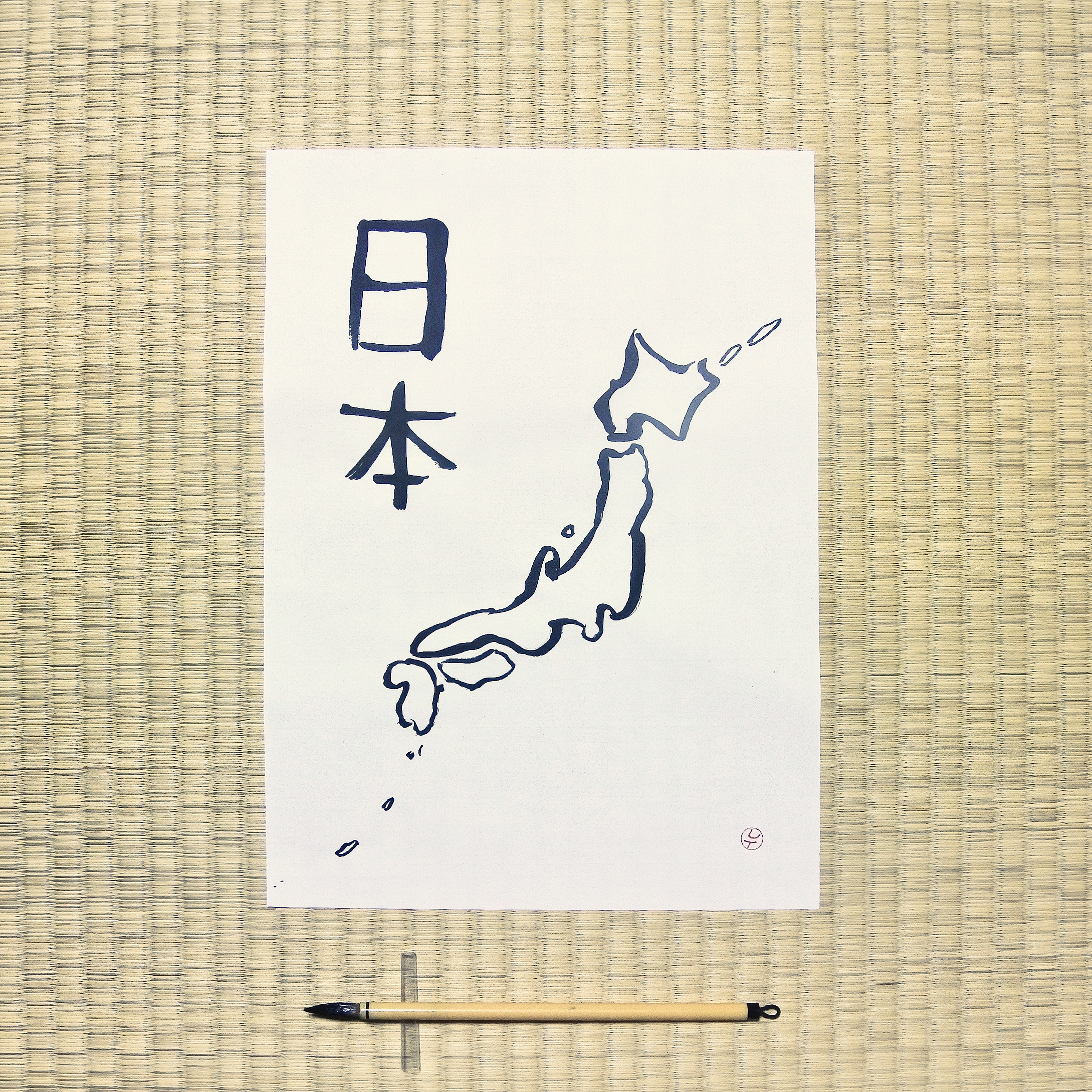
My first brush with calligraphy
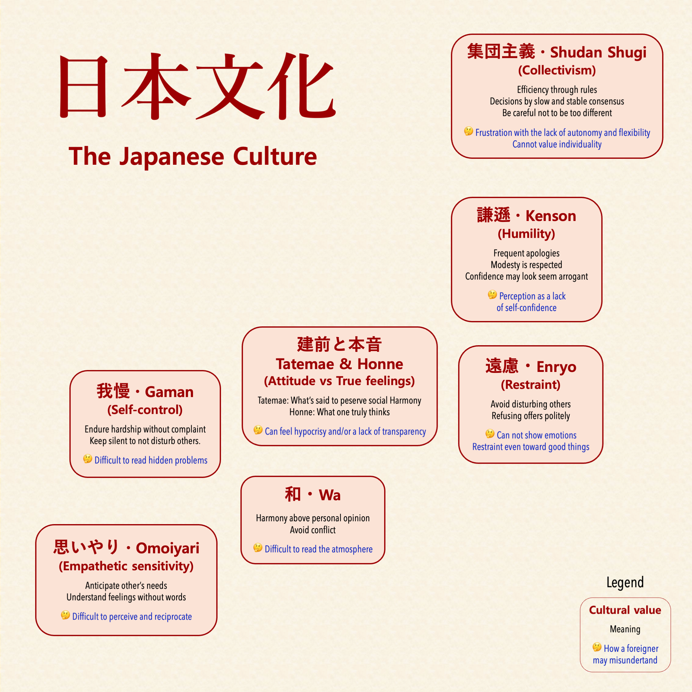
The invisible side of Japan
shown in a mind map
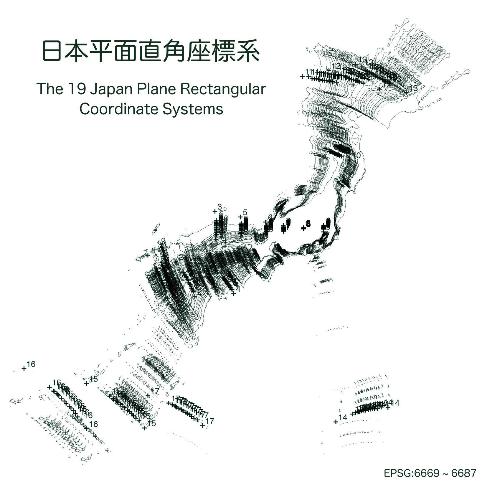
Japan is so wide that
national projections are divided
into 19 zones
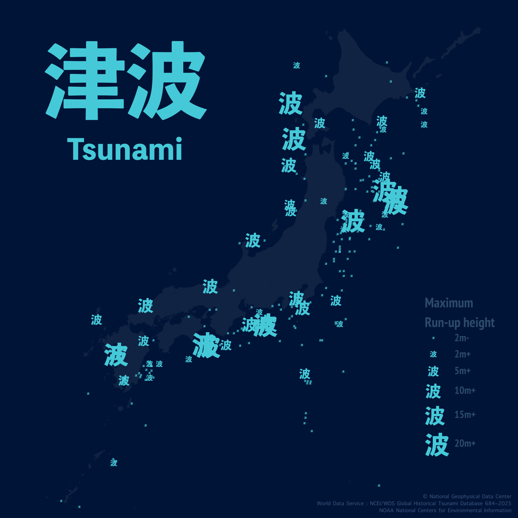
The 4th element Japan must face
Tsunamis accross the country
since the 7th century
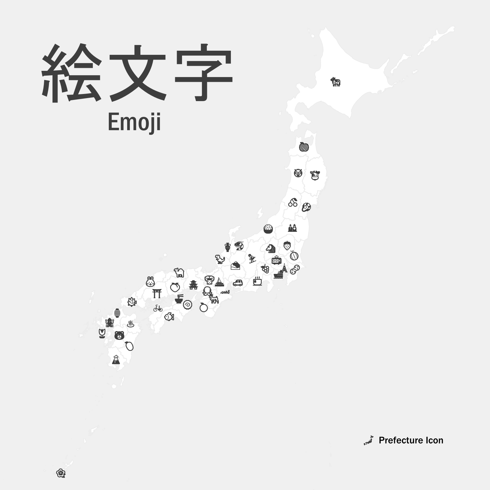
Japan prefectures shown using
their closest representative emoji
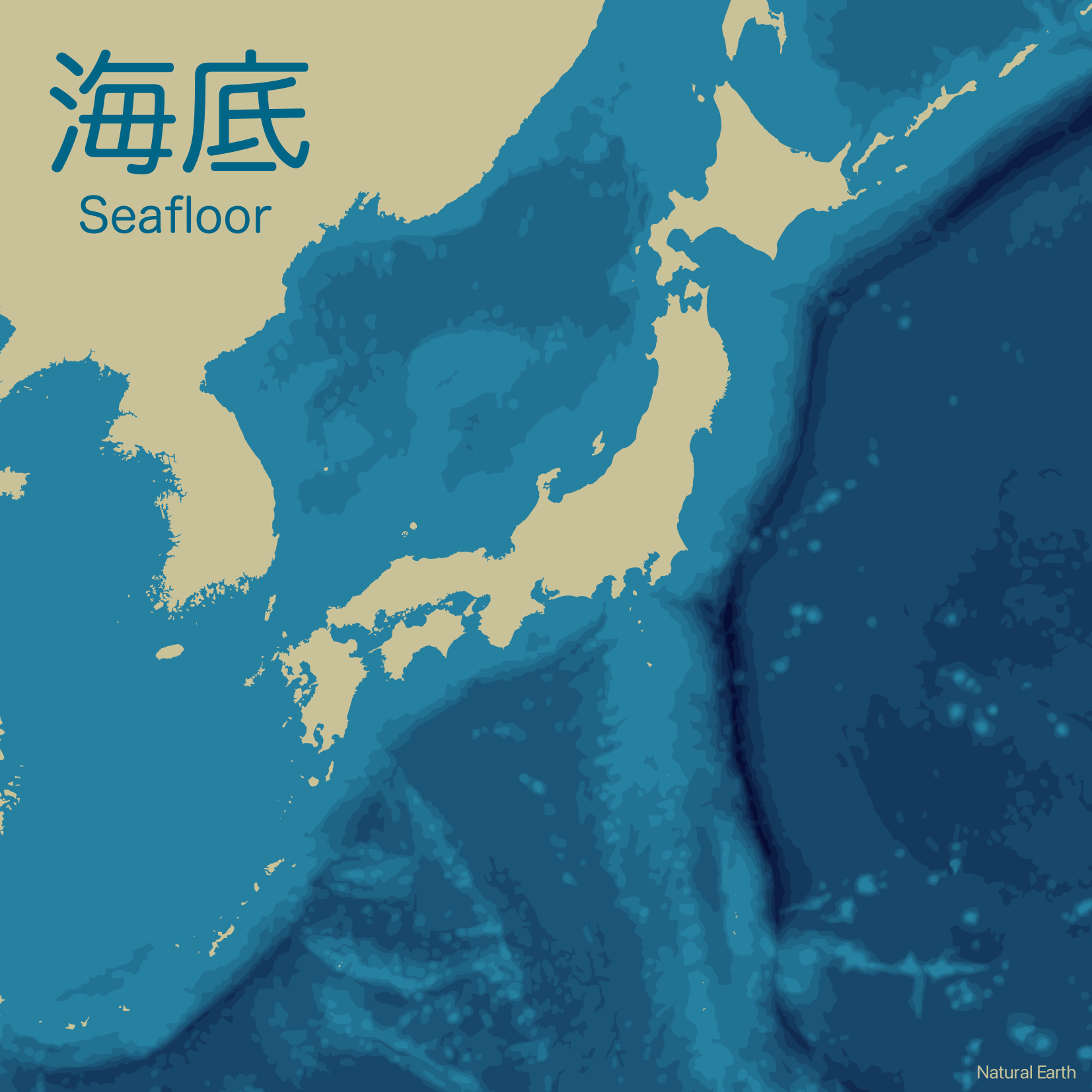
Bathymetry around Japan
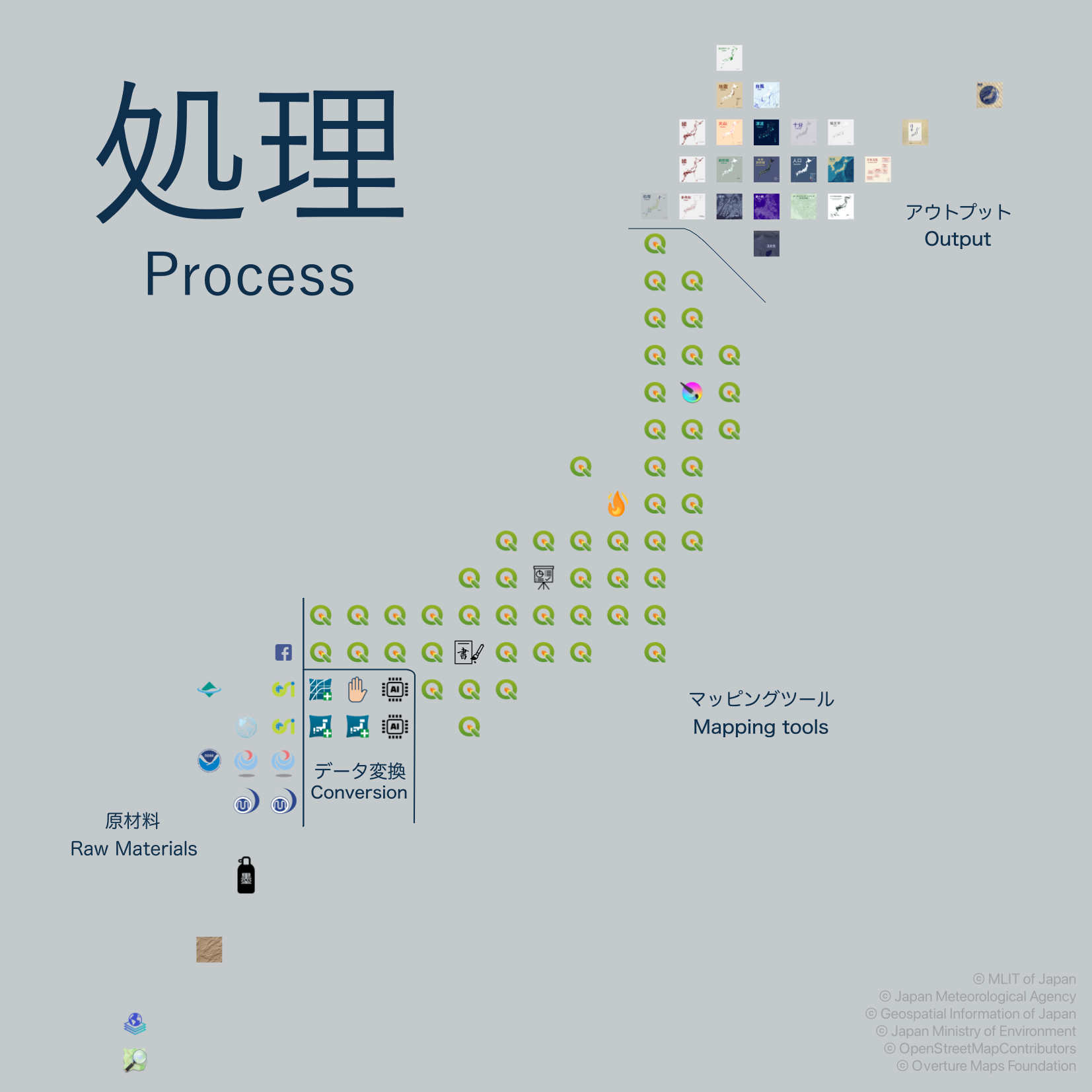
Japan’s main islands
as a step-by-step workflow
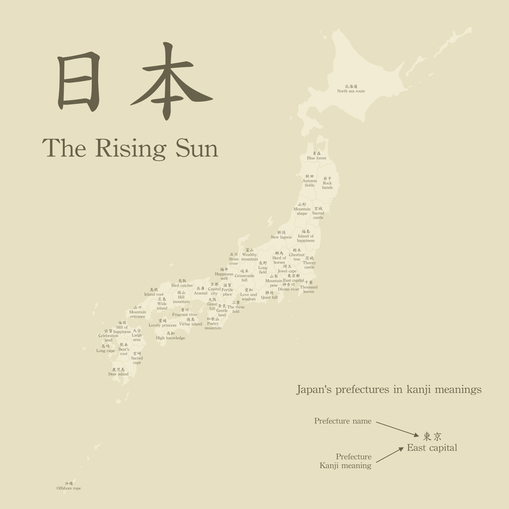
Japan prefectures
by the meaning of their kanji
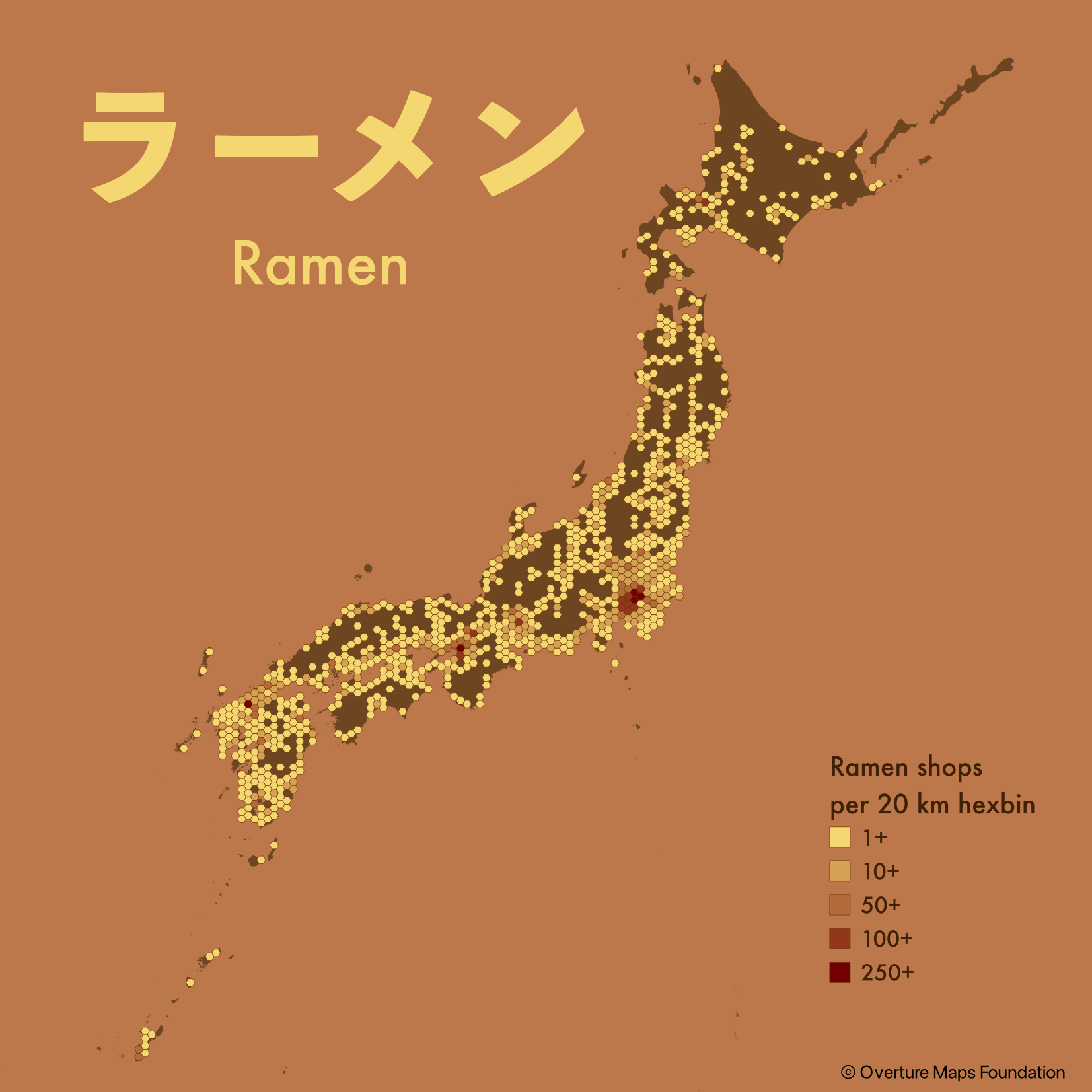
Ramen density in 20 km hexbins
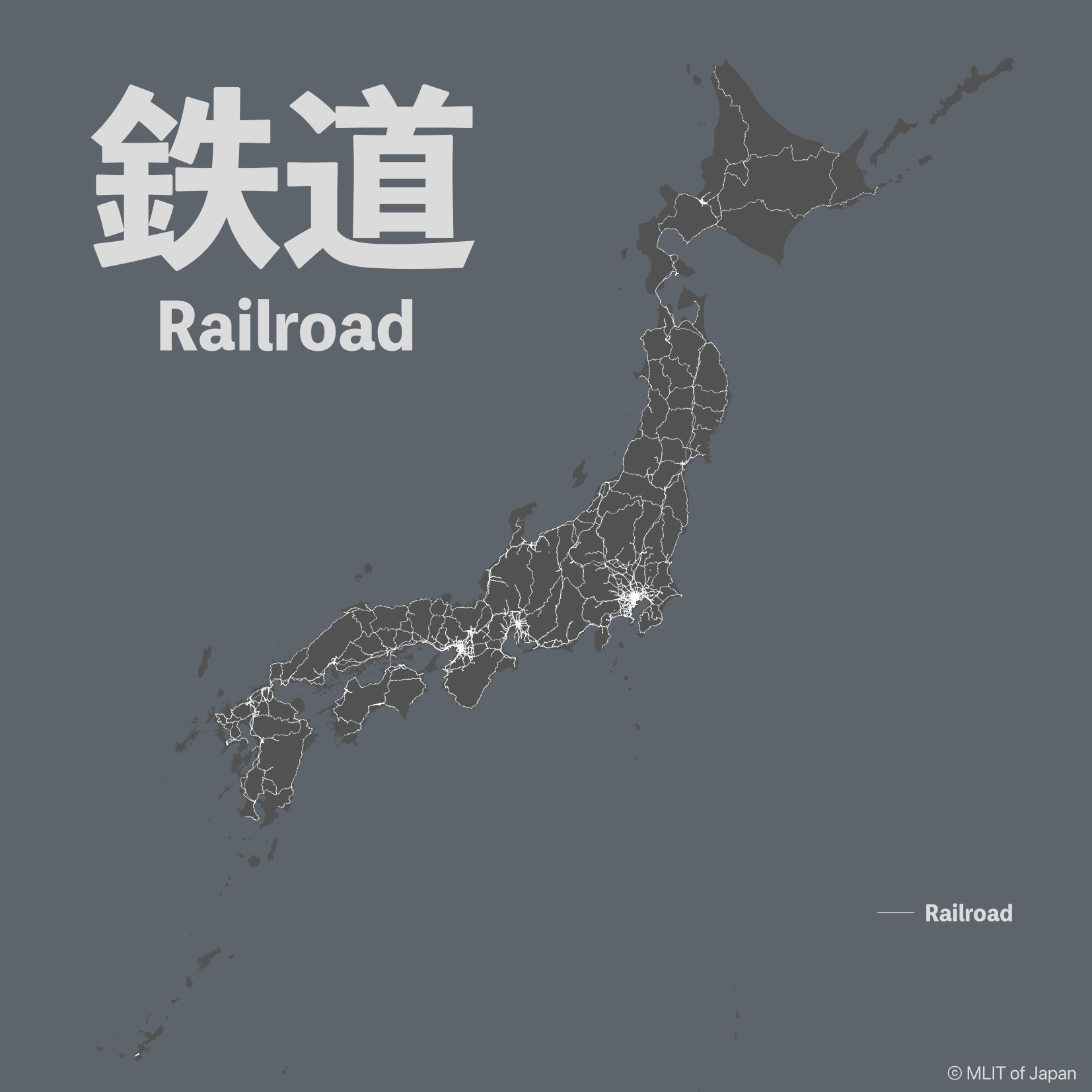
The well meshed
railway network of Japan
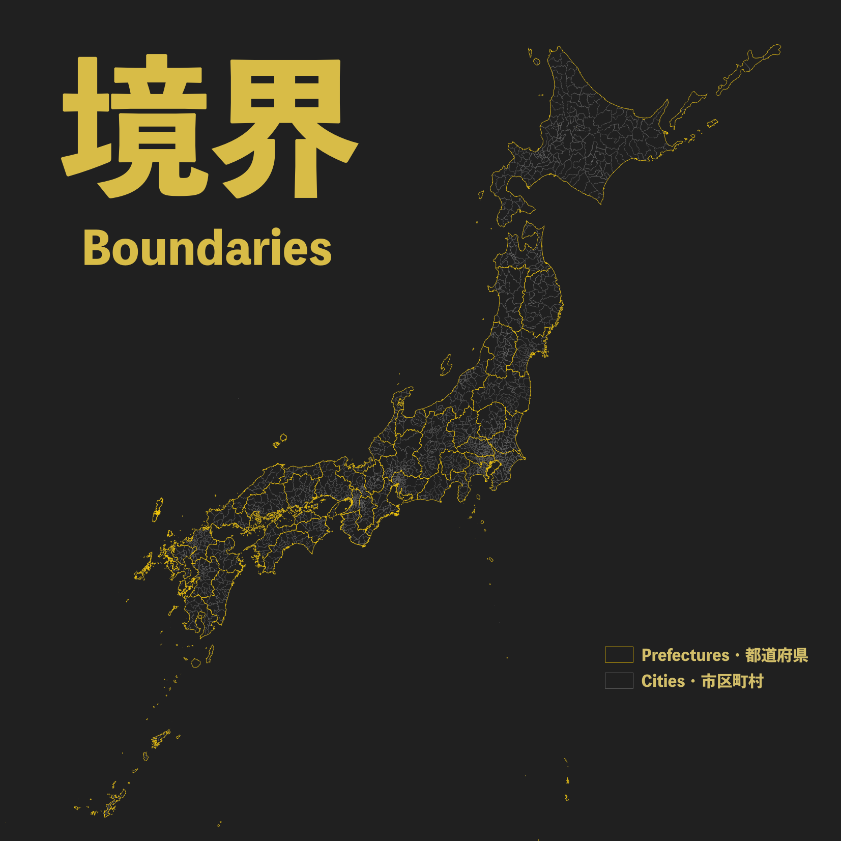
Simply the Japan prefectures/cities
administrative borders
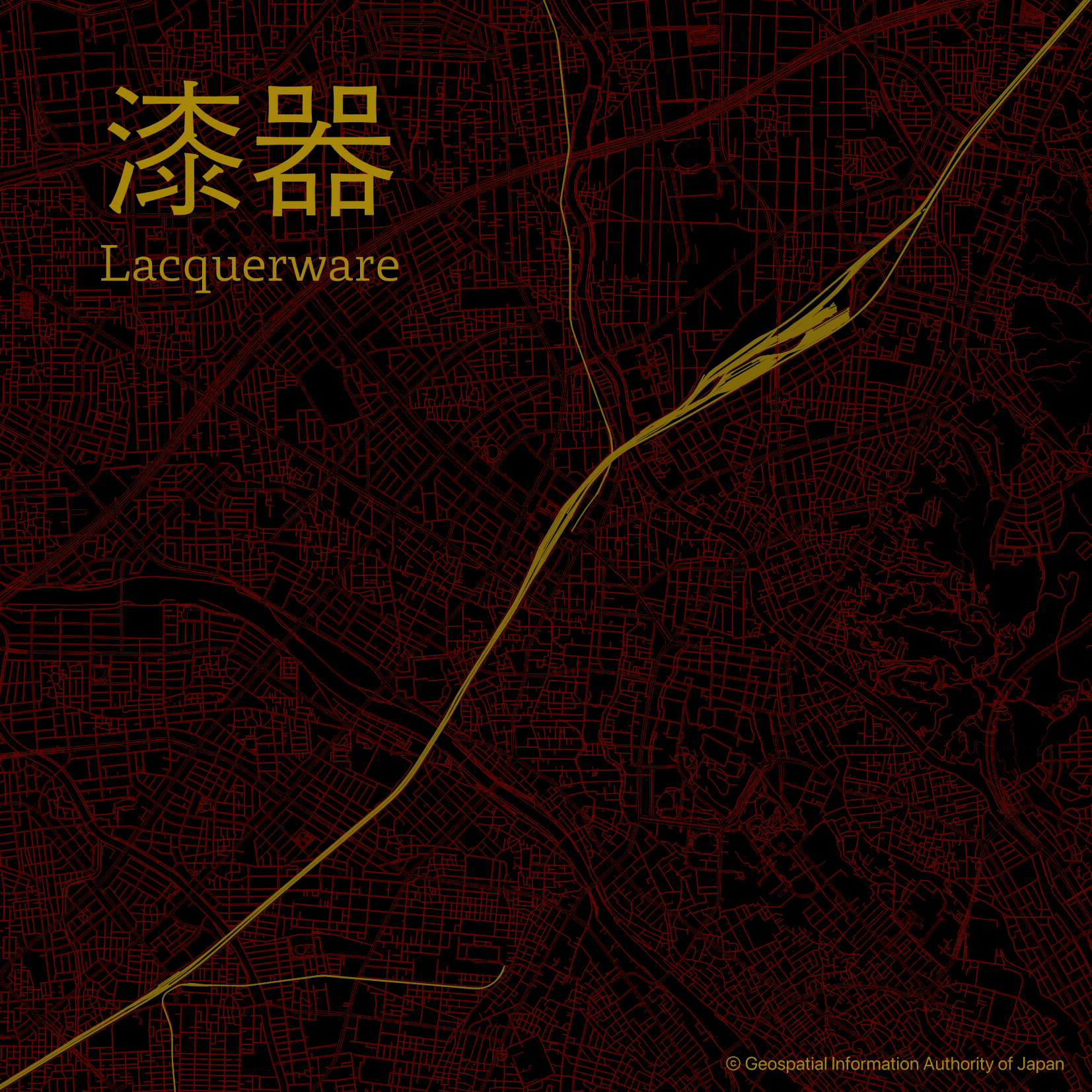
Kanazawa
Capital of black lacquerware
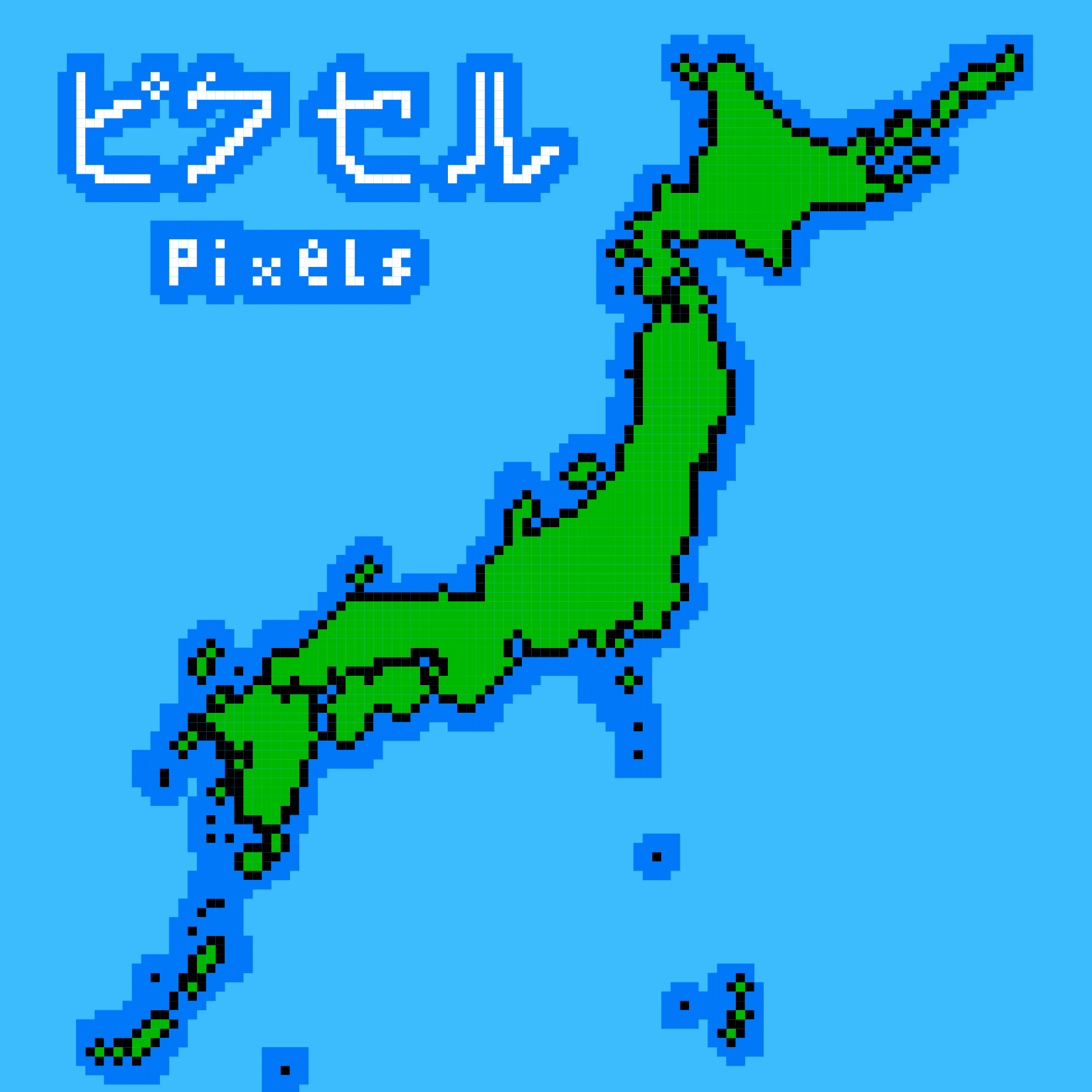
A retro-pixel map
from the land of gaming
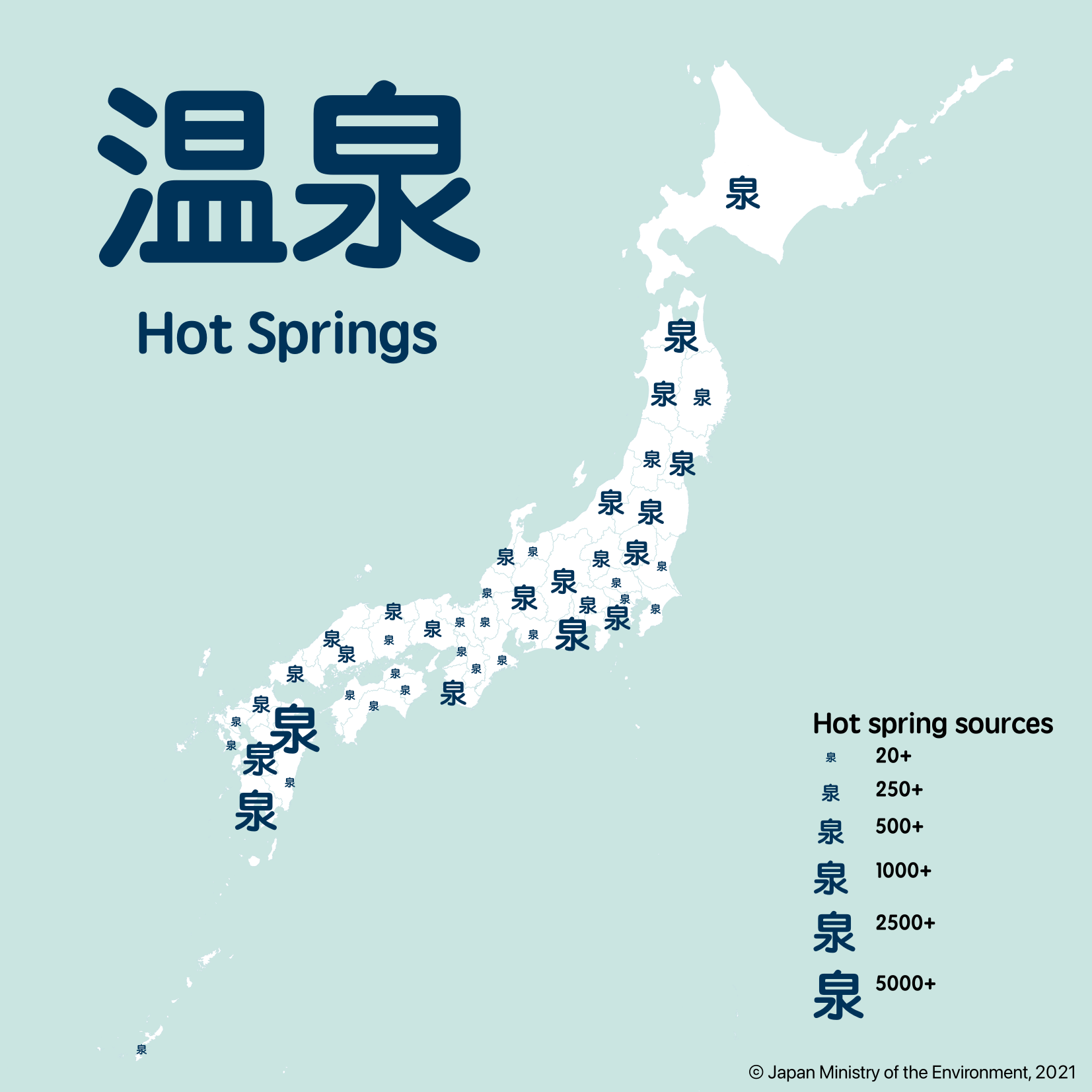
A JLPT remix of the hot springs
chart map made two years ago.